Using satellites and AI to map habitats
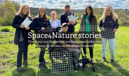
This three-year project - made possible thanks to players of People's Postcode Lottery - sees the University of Surrey and Surrey Wildlife Trust working in partnership with Buglife and the Painshill Park Trust. The team has enlisted the help of the public to inform their work in the newly emerging field of Earth Observation – combining satellite technology and artificial intelligence – to monitor and improve wildlife habitats.
Interested in getting involved with the Space4Nature project? Register below and we'll be in touch as soon as possible.
Project updates
Watch our Space4Nature videos to learn more about the project.
Training Volunteers
Space4Nature: Training Volunteers (https://youtu.be/epfIENb0lFk)
Surrey Wildlife Trust's Citizen Science Officer Daniel Banks trains a group of volunteers on mapping a heathland site.
Mapping using Machine Learning
Space4Nature: Mapping Habitat using Machine Learning (https://youtu.be/qfYSll_EvbQ)
Professor Richard Murphy and Dr Ana Andries demonstrate how machine learning, mapping and very high resolution satellite imagery are used to support the project.
Mapping Habitat on Puttenham Common
Space4Nature: Mapping habitat on Puttenham Common (https://youtu.be/VaLnxS4TmPw)
Citizen Science Officer Daniel Banks and Research and Monitoring Manager Ben Siggery are joined by Molly Biddell from the Hampton Estate. Along with a group of volunteers, they map the habitat on a section of heathland on Puttenham Common.
Palaeoecology Research at Chobham Common
Space4Nature: Palaeoecology Research at Chobham Common (https://youtu.be/jiwE90dcGX4)
How wildlife rich should Surrey be in the absence of contemporary human influence? For his PhD, Ben Siggery is carrying out palaeoecological research (the study of interactions between organisms & their environment through time) to inform our habitat restoration targets, alongside Space4Nature satellite technology to track progress.
Space4Nature Open Forum 2024
HALO Hub
The Habitat And Land Observation (HALO) hub is a place for researchers, practitioners, and those undertaking commercial innovation in the sector. It is a forum to share research, projects, events, and discussion related to the use of technology in monitoring and supporting UK nature recovery.
The HALO hub specialises in satellite and land observation techniques including use of high-resolution satellite imagery, UAV/drones and bio-acoustics for informing and monitoring habitat restoration across the UK.
Join, discover and discuss! Create an account to be a part of the network, add relevant resources, take part in discussion and create a place for shared learning for the development of nature recovery in the UK.
B-Lines
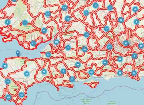
"B-Lines are a series of ‘insect pathways’ running through our countryside and towns, along which we are restoring and creating a series of wildflower-rich habitat stepping stones." - Buglife UK
Buglife’s B-Lines initiative is the world’s largest co-ordinated solution to habitat fragmentation and loss. Composed of mapped 3km wide belts joining the best remaining areas for nature across the UK, Buglife aims to fill these B-Lines with permanent wildflower-rich habitat to reconnect our landscapes for wildlife.
The Space4Nature project is the first project to begin reconnecting Surrey’s B-Line, with over 30 hectares of wildflower-rich habitat to be delivered as part of the project. The satellite mapping technology Space4Nature is developing will address one of the foremost challenges Buglife face by providing a complete picture of habitats at a landscape scale.
News & Blogs
Keep up to date with the latest project news and developments, including blogs from Project Manager Andrew Jamieson and Space4Nature PhD student Ben Siggery.
Summer success for Space4Nature
Space4Nature, SWT’s innovative landscape-mapping project made possible by players of People’s Postcode Lottery, has made further…
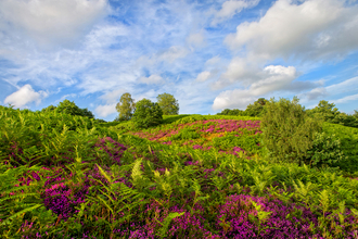
Hampton Estate invites local community to a ‘bioblitz’ on Puttenham Common
Free activities offer a great way to learn about Surrey’s wonderful wildlife

Space4Nature receives Nature & Environment award
On Wednesday 12 June, the Space4Nature team were the proud winners of the Nature and Environment category at the 2024 Geospatial…

Space4Nature targets new sites for 2024
Emphasis shifts to chalk grassland and parkland as Earth Observation and AI-driven conservation project enters next stage of development…
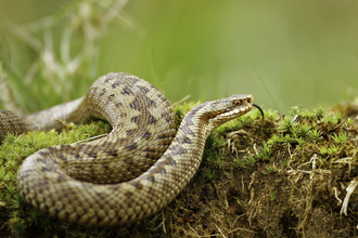
Satellites, AI... and hand lenses
As the pioneering Space4Nature project reaches its halfway point, we check in with some of its key contributors.
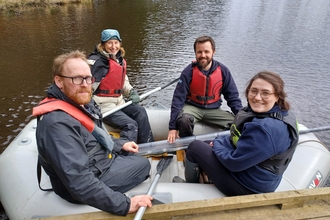
Bridging the divide
A research project is uniting the academic and the practical

